For us, a photo is more than the image itself. One of the most powerful pieces of information you can add to an image is where in the world it was taken. While Flickr has some of the most powerful tools for geotagging your photos, we wanted to make sure that the quality of our maps meets our high standards.
Today we are happy to introduce all new maps to Flickr.
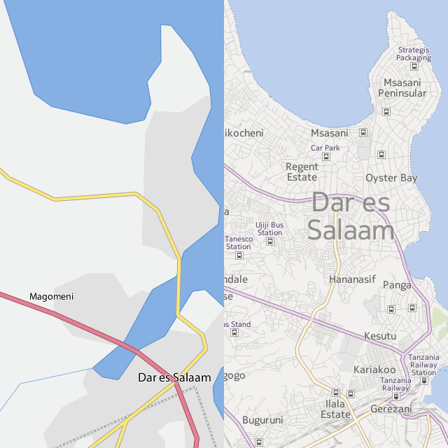
First, we’ve partnered with Nokia to bring you their map style and satellite images. Whether you’re geotagging one of your photos, discovering places, or simply want to see where other people’s amazing images were taken – you’ll see up-to-date maps from one of the largest and best mapping providers in the world. Our new maps will provide you a much greater level of detail and let you zoom in much further than before.
Second, we continue to work with the Open Street Map (OSM) community and automatically provide OSM map tiles for areas where commercial maps don’t have full coverage. One amazing thing about Flickr is that you travel all across the world and take photos. We need to have the best maps – even in the most exotic places – and partnering with the OSM community allows us to give you high quality maps everywhere.
The new maps are available for everyone as of today. For more information about maps and geotagging check out our handy list of FAQs, and please let us know if you see any bugs or have feedback to share with us.