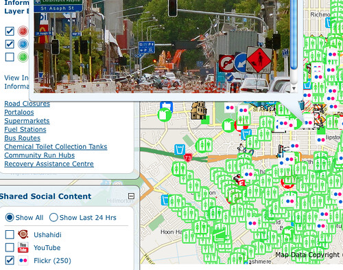
The Canterbury Incident Map created by Jithen Singh at Eagle Technology gives the people of Christchurch information on what bridges are open, water distribution centers, road closures, aftershock locations, supermarket locations, and much much more.
For a view of what is happening on the street it also includes geotagged Flickr photos and Youtube videos. Disseminating information is a critical part of helping people after a disaster and the incident map they’ve created is a great example of a combining data from multiple sources to give people an overview of where and when things are happening, and where to get help.
