We’ve added new tiles from OpenStreetMap for two cities on the Flickr world map:
For Kabul, Afghanistan…


…and Baghdad, Iraq.


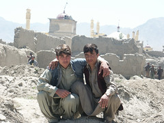
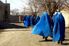
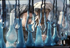
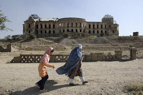
The pictures in Kabul are from jddorren08,
martien van asseldonk,
susanmhall,
deckwalker,
Wendy Tanner,
UNHCR,
crzy_ray
and the images taken in Baghdad are by
Ammar almosawy,
NikonShooter, and
Army.mil.
In other geostuffs, Aaron has written a post over at code.flickr about the new “shape files” we’ve (well, Aaron & Dan really) been able to create from all the geodata you’ve given us. A shape file shows what Flickr thinks the “edges” of a country, state, city and even a neighbourhood are. Super cool!